Measuring What Matters: How Drone Volumetrics Are Transforming Earthwork, Stockpile Management, and Cut/Fill Calculations in Texas
Learn how drone volumetric measurements, precision cut/fill tracking, and 3D terrain modeling deliver engineering-grade stockpile accuracy for Texas job sites.
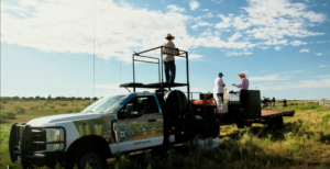
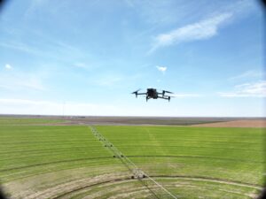
The Modern Rancher’s Aerial Advantage: How Drone Technology Is Reshaping Land and Range Management in Texas, Oklahoma, and New Mexico
Discover how modern range management drones provide Southwest ranchers with broadcast seeding, variable-rate pasture fertilization, and aerial land tracking.
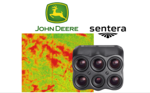
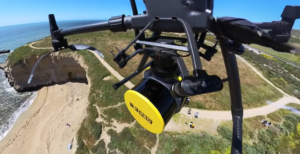
Seeing What the Naked Eye Misses: How Multispectral Drone Imaging Is Changing Weed Management in Texas, Oklahoma, and New Mexico
Discover how aerial multispectral drone imaging and variable-rate NDVI maps detect early crop stress and weed pressure to lower chemical inputs for Southern Plains growers.
The Digital Pulse: Transforming Industrial Lifecycle Management with Tex-Air Drone
Discover how digital twin modeling, as-built documentation, and remote drone inspections transform industrial asset management and lower facility lifecycle costs.
The Invisible Shield: How Thermal Drone Inspections Protect Your Energy Assets
Learn how radiometric thermal drone inspections detect critical hot spots, fault patterns, and anomalies to protect solar arrays and utility infrastructure.
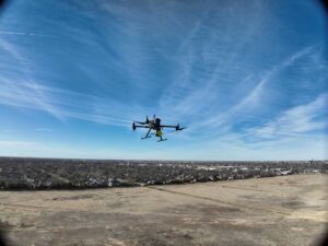
Precision from Groundbreak to Ribbon Cutting: The Ultimate Guide to Drone Construction Monitoring
Discover how commercial drone construction monitoring, autonomous progress tracking, and precision volumetrics protect project margins on Texas job sites.
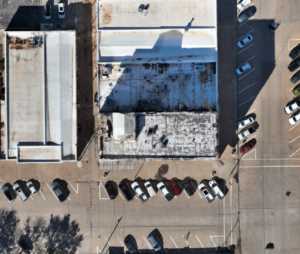
The New Perspective: Decoding the Power of 2D and 3D Drone Mapping for Texas Industries
Learn how high-resolution 2D orthomosaic mapping and 3D digital twin modeling deliver precise measurements, topographic data, and BIM-ready site analysis.
Beyond the Point Cloud: 5 Ways LiDAR and Planimetric Mapping Master BIM and PLS-CADD
Discover how engineering-grade drone LiDAR, planimetric mapping, and 3D reality capture deliver precision data for BIM, PLS-CADD, and industrial utility analysis.
From Point Clouds to Prescription: How Tex-Air Drone is Bridging the Gap Between Data and Dollars
Discover how automated drone construction monitoring, precision volumetrics, and 3D mapping streamline workflows, eliminate rework, and protect your margins on Texas job sites.