In the expansive landscapes of the American West, the difference between a profitable season and a break-even year often comes down to inches and individual plants. For years, the promise of “precision agriculture” and “smart construction” felt like a distant horizon—plenty of data, but very little “doing.”
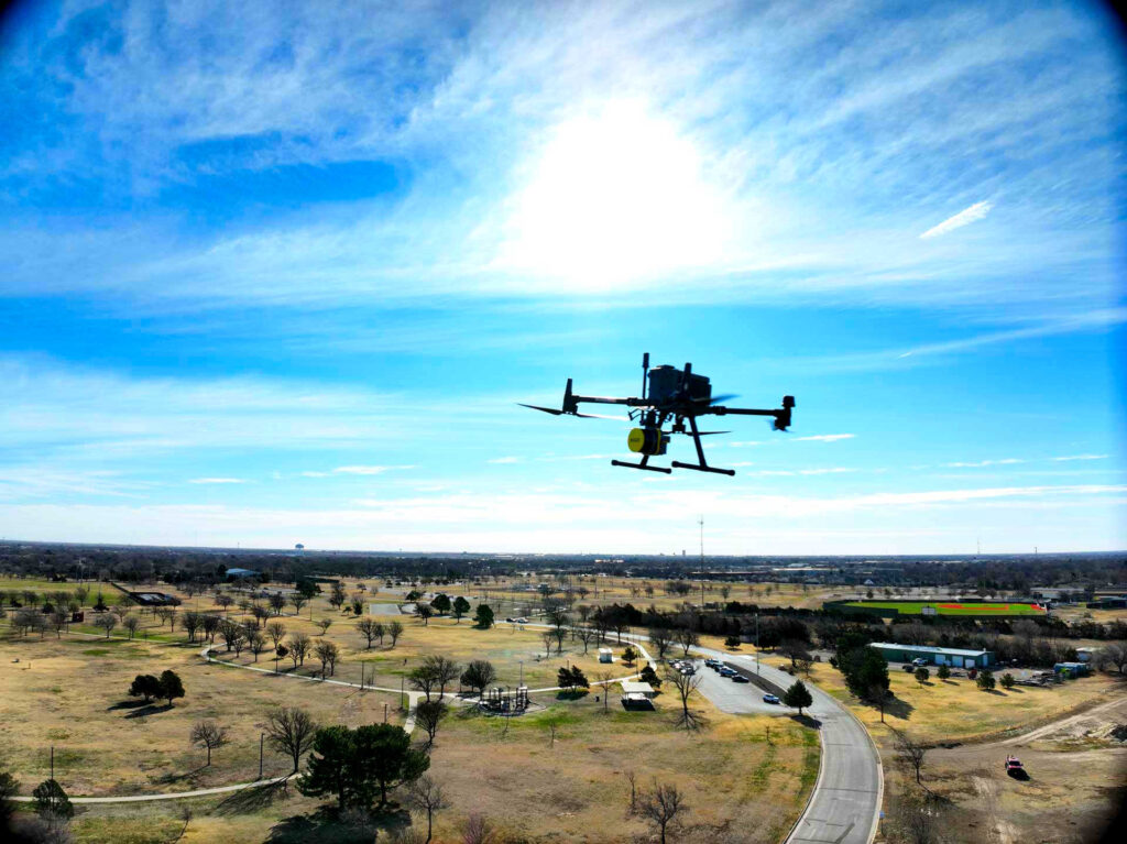
At Tex-Air Drone, we’ve moved past the novelty of aerial photography. Based in Amarillo and serving the entire state of Texas, we are transforming how farmers, ranchers, and industrial managers interact with their land. We don’t just fly; we integrate.
Whether it’s converting a LiDAR point cloud into a functional BIM model or sending a prescription map directly to a John Deere spray rig, here is how Tex-Air Drone is turning high-tech data into real-world ROI.
1. The Direct Link: Prescription Mapping to John Deere Spray Rigs
The biggest challenge in modern farming isn’t a lack of data; it’s the “data silo.” Many operations have beautiful NDVI (Normalized Difference Vegetation Index) maps but no efficient way to act on them.
Tex-Air Drone has solved this by specializing in Prescription Mapping. Our process doesn’t end with a report; it ends with a file that plugs directly into your John Deere Spray Rigs or other variable-rate application (VRA) hardware.
Why This Matters for Your Bottom Line:
- Chemical Savings: By mapping weed pressure and plant health, we ensure you only spray where necessary. On a thousand-acre operation, reducing chemical use by even 15% translates to thousands of dollars saved instantly.
- Environmental Stewardship: Targeted application reduces runoff and ensures the health of our “Great Texas Lands,” a core mission of Tex-Air Drone.
- Precision Plant Counts: We don’t guess your stand count; we provide exact data. Knowing your plant density allows for variable-rate nitrogen application, ensuring every seed has the exact nutrients it needs to thrive.
2. LiDAR & BIM: Building the Future of Texas Infrastructure
For our construction and industrial clients, the stakes are measured in structural integrity and project timelines. Traditional surveying is slow and labor-intensive. Tex-Air Drone’s LiDAR (Light Detection and Ranging) services are the “Slayer” of traditional delays.
Unlike standard photogrammetry, our LiDAR sensors can penetrate heavy Texas brush and foliage to reach the true ground surface. This allows us to create:
- High-Density Point Clouds: Millions of data points that form a precise 3D “twin” of your site.
- BIM & Planimetric Models: We take raw data and convert it into Building Information Modeling (BIM) files. This allows project managers to identify clashes, plan site drainage, and monitor progress with millimeter precision.
- Asset Management: For industrial customers, we provide a digital archive of your assets. Instead of sending a crew up a ladder or crane, our drones capture the state of your infrastructure safely and more accurately.
3. Solar Farm Thermal Inspections: Stopping Failures Before They Start
As Texas becomes a global leader in renewable energy, the maintenance of massive solar arrays has become a logistical hurdle. A single faulty diode or a “hot spot” can diminish the output of an entire string of panels.
Tex-Air Drone’s Solar Farm Thermal Inspections utilize radiometric infrared sensors to identify anomalies invisible to the naked eye.
- The Speed of Flight: We can inspect hundreds of acres of solar panels in a fraction of the time it takes a ground crew with handheld sensors.
- Targeted Maintenance: Our reports pinpoint the exact row and panel requiring attention.
- Maximized Yield: By identifying shading issues, debris buildup, or internal cell failures early, we help solar asset managers maintain peak energy production and protect their long-term investment.
4. Livestock and Fly Management: The Rancher’s Secret Weapon
Ranching in Texas comes with unique challenges, specifically the health and stress levels of the herd. We’ve seen stunning results in our Livestock Spraying programs, particularly in fly management.
By utilizing the Terregena product BalEnce (a biological fungal product), we’ve helped Feedlots & Dairy’s move from “heavy fly populations” to “almost zero.” Traditional synthetic chemicals often see a rebound in pest populations; our drone-based biological approach provides residual quality that keeps your cattle stress-free and healthy through the peak of the season.
5. Why Tex-Air Drone? The “Spray and Slay” Difference
There are many hobbyists with drones, but there are very few Precision Agriculture and Industrial Partners. Tex-Air Drone is built on a foundation of professional expertise and local commitment.
- FAA Part 107 Certified: We operate with total compliance and a “Safety First” culture.
- Statewide Reach: From the panhandle of Amarillo to the Big Bend and over to East Texas, we are equipped to deploy our fleet wherever your operations are located.
- Seamless Integration: We don’t just hand you a USB drive of images. We work with your existing software, your equipment (like John Deere systems), and your workflows to ensure the technology makes your life easier, not more complicated.
Conclusion: Data You Can Act On
In the world of 2026, the competitive edge belongs to those who use technology to eliminate waste. Tex-Air Drone is here to ensure that your chemical applications are precise, your construction models are perfect, and your energy assets are performing at 100%.
Ready to revolutionize your operations? Don’t just fly—Spray and Slay the Texas Drone Way. Contact Tex-Air Drone Today or call us at (806) 318-1825 to schedule a consultation for your farm, ranch, or industrial site.