

Detailed Drone Construction Site Monitoring Progress Solutions
Project Intelligence
Tex-Air Drone provides aerial monitoring solutions that give project managers a clear, real-time view of construction progress. Using high-resolution drone imagery and mapping workflows, we document site conditions, track project milestones, and deliver accurate visual records that help teams stay informed and on schedule. In addition to construction projects, our drone technology also supports agricultural drone services for farms, ranches, and rural land management.
Actionable Aerial Intelligence Powered by Drone Photogrammetry
High-Resolution Orthomosaic Mapping
Get a crystal-clear, top-down view of your entire job site that standard satellite imagery simply cannot match.
-
Real-Time Site Overlays We stitch thousands of drone photos into a single, massive, georeferenced orthomosaic map. Overlay your blueprints or CAD files directly on top of our maps to instantly catch deviations
-
Precision Inspections Zoom in to see millimeter-level detail—from individual utility lines to concrete cracks—without ever stepping foot in the active construction zone
Accurate Volumetric Analysis via Photogrammetry
Track earthwork and material movement dynamically without the high cost or delays of traditional ground surveys.
-
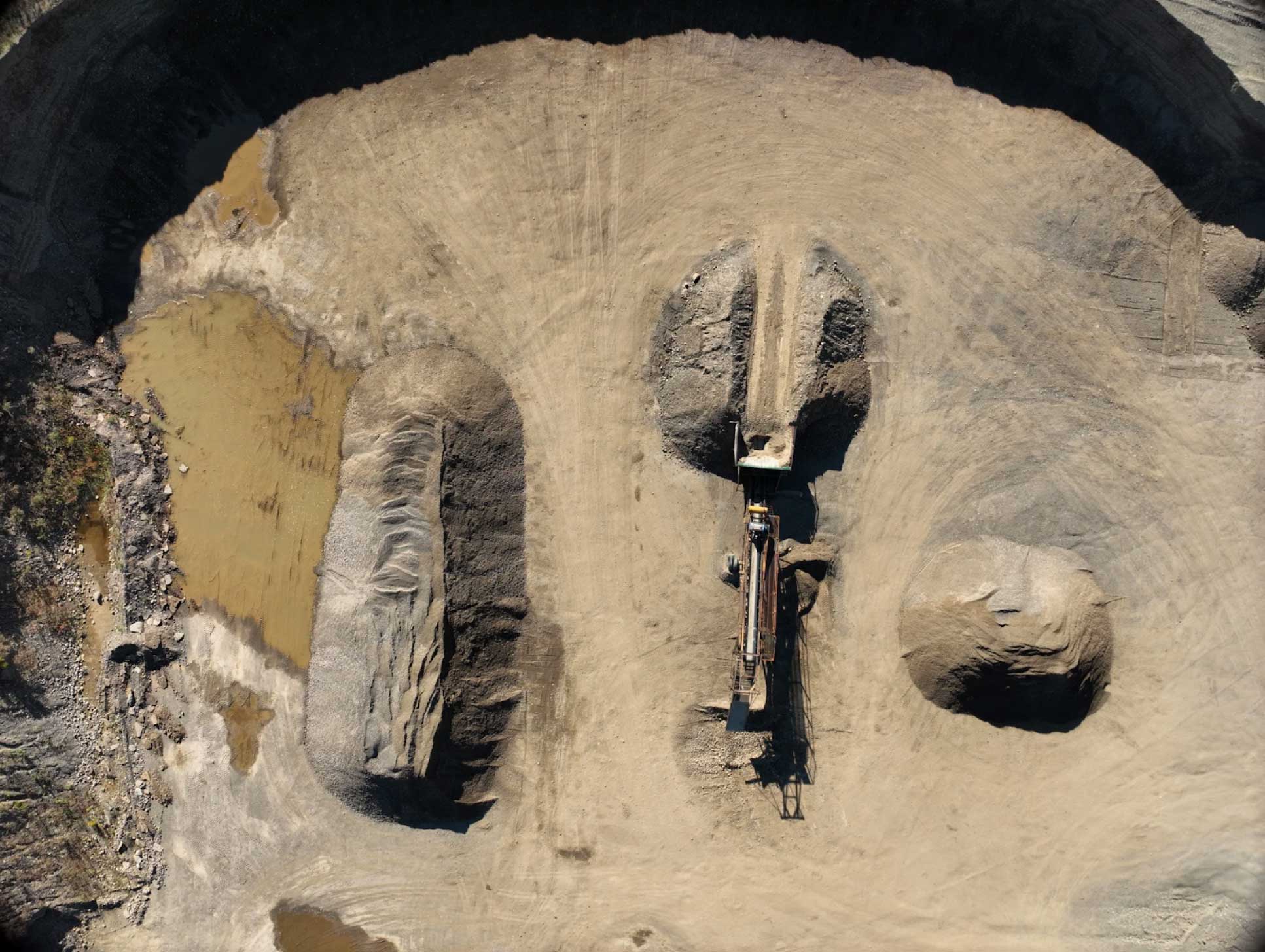
Stockpile Auditing Our software calculates the exact volume of gravel, topsoil, or asphalt piles in minutes based on 3D photogrammetry mesh data
-
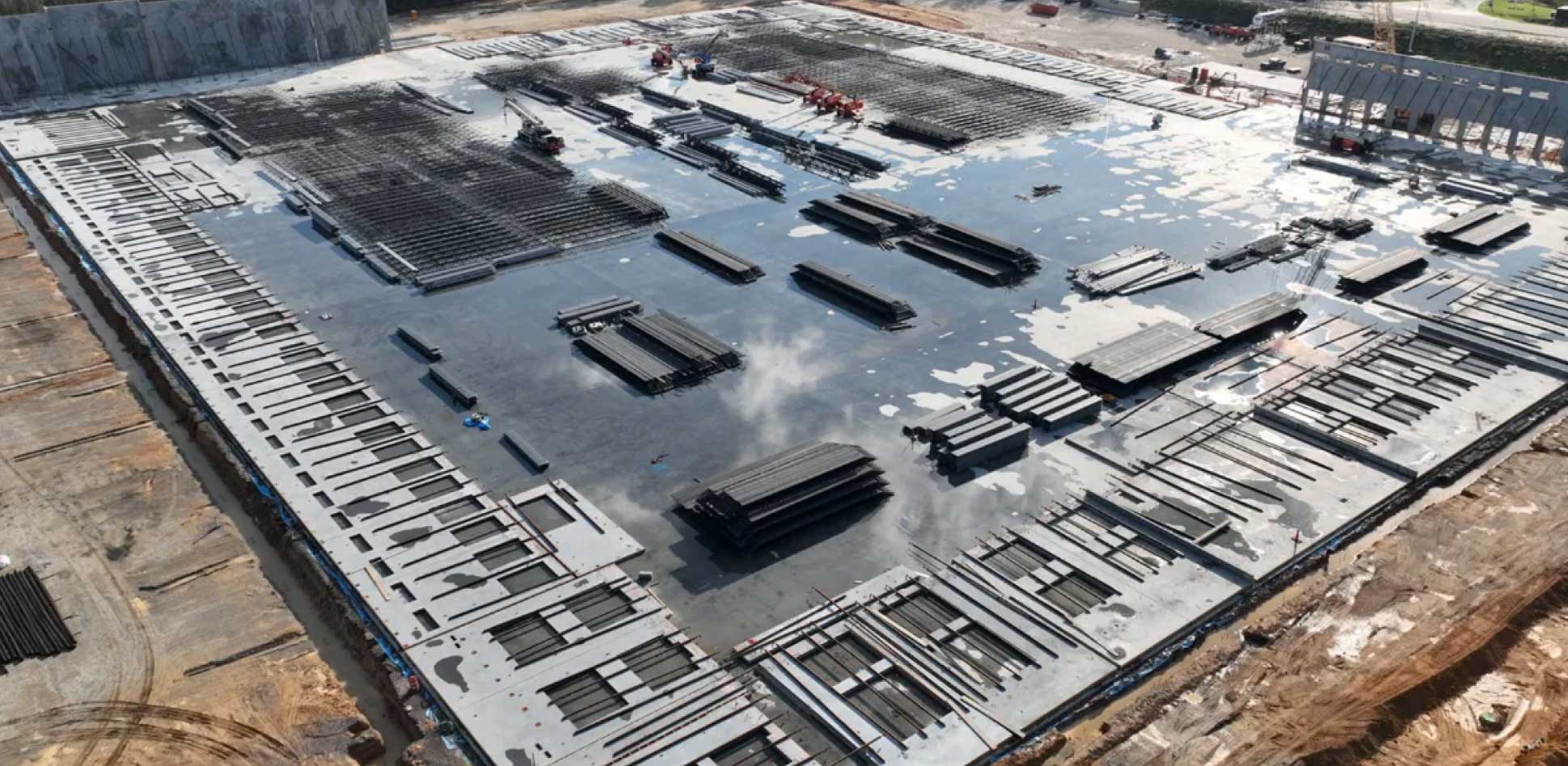
Cut-and-Fill Tracking Monitor excavation progress over time to ensure grading matches your design surfaces
Photogrammetry & Mapping Deliverables
| Deliverable Type | What It Is | Best Used For |
| 2D Orthomosaic Maps | High-resolution, measurable, top-down maps stitched from overlapping aerial photos. | Progress tracking, site planning, blueprint overlays, and logistics. |
| 3D Point Clouds | A dense collection of millions of data points mapped in a 3D coordinate system. | CAD drafting, civil engineering design, and topographic modeling. |
| 3D Textured Mesh | A realistic digital twin of your site’s topography and structures. | Virtual walkthroughs, stakeholder presentations, and asset inspections. |
| HD Aerial Media | Weekly or monthly high-definition video walkthroughs and progress photos. | Investor updates, marketing, and historical compliance records. |
Frequently Asked Questions About Drone Construction Site Monitoring Progress Solutions
What is the difference between drone photogrammetry and standard drone photography?
Standard drone photography provides standalone, perspective-warped images used primarily for marketing. Drone photogrammetry involves flying a precise, automated grid pattern where hundreds of overlapping photos are captured. Specialized software then extracts 3D data from those overlaps, correcting for camera tilt and terrain perspective to create a perfectly flat, measurable map (an orthomosaic) and 3D models.
How accurate are orthomosaic maps and 3D models?
When paired with Ground Control Points (GCPs) or RTK (Real-Time Kinematic) drone positioning, our photogrammetry deliverables achieve an absolute accuracy of within 1 to 2 inches. This provides highly reliable data for calculating stockpiles, verifying boundaries, and tracking structural progress.
What software formats do you support?
Tex-Air Drone offers support with
PIX4Dmatic, PIX4Dfields, PIX4D
Do you offer recurring flight schedules?
Yes. Most commercial construction projects benefit from weekly or bi-weekly mapping schedules to accurately document sub-surface utilities, foundation pours, and framing before walls are closed up. We offer custom, flexible scheduling tailored to your project milestones.
CONSTRUCTION SITE MONITORING IN AMARILLO, TX
We provide construction site monitoring using drones for projects across the region, including construction site monitoring services in Amarillo, TX, supported by aerial mapping and LiDAR data for construction and development projects.
Serving Amarillo, TX and the Texas Panhandle.