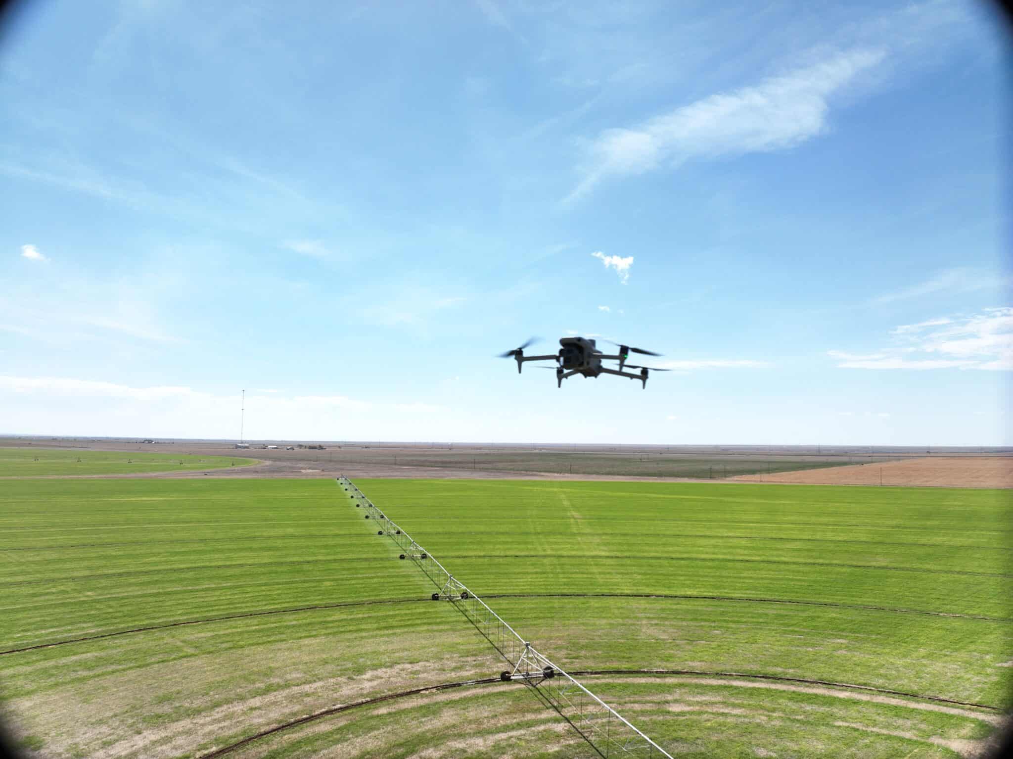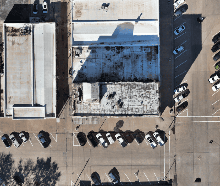
The Digital Pulse: Transforming Industrial Lifecycle Management with Tex-Air Drone
In the industrial world, an asset—whether it’s a manufacturing plant, a sprawling warehouse, or a remote utility substation—is a living entity. It ages, it shifts, and it requires constant vigilance to remain profitable. Traditionally, managing these assets meant juggling stacks of outdated blueprints, manual inspection logs, and “best guess” maintenance schedules. At Tex-Air Drone, we […]
The Digital Pulse: Transforming Industrial Lifecycle Management with Tex-Air Drone Read More »