
In the world of high-stakes infrastructure—whether you are stringing high-voltage transmission lines across the Panhandle or managing a multi-acre industrial expansion—there is no room for “close enough.”
For years, the industry relied on traditional ground surveys that, while accurate, were time-consuming and often dangerous for crews in rugged terrain. Today, Tex-Air Drone is redefining the standard. We aren’t just capturing images; we are generating the precise, engineering-grade data required for Building Information Modeling (BIM) and PLS-CADD analysis.
If you’re looking to bridge the gap between raw aerial data and actionable engineering models, here is how our advanced LiDAR and planimetric services are leading the charge.
1. LiDAR: The Foundation of Every Accurate Model
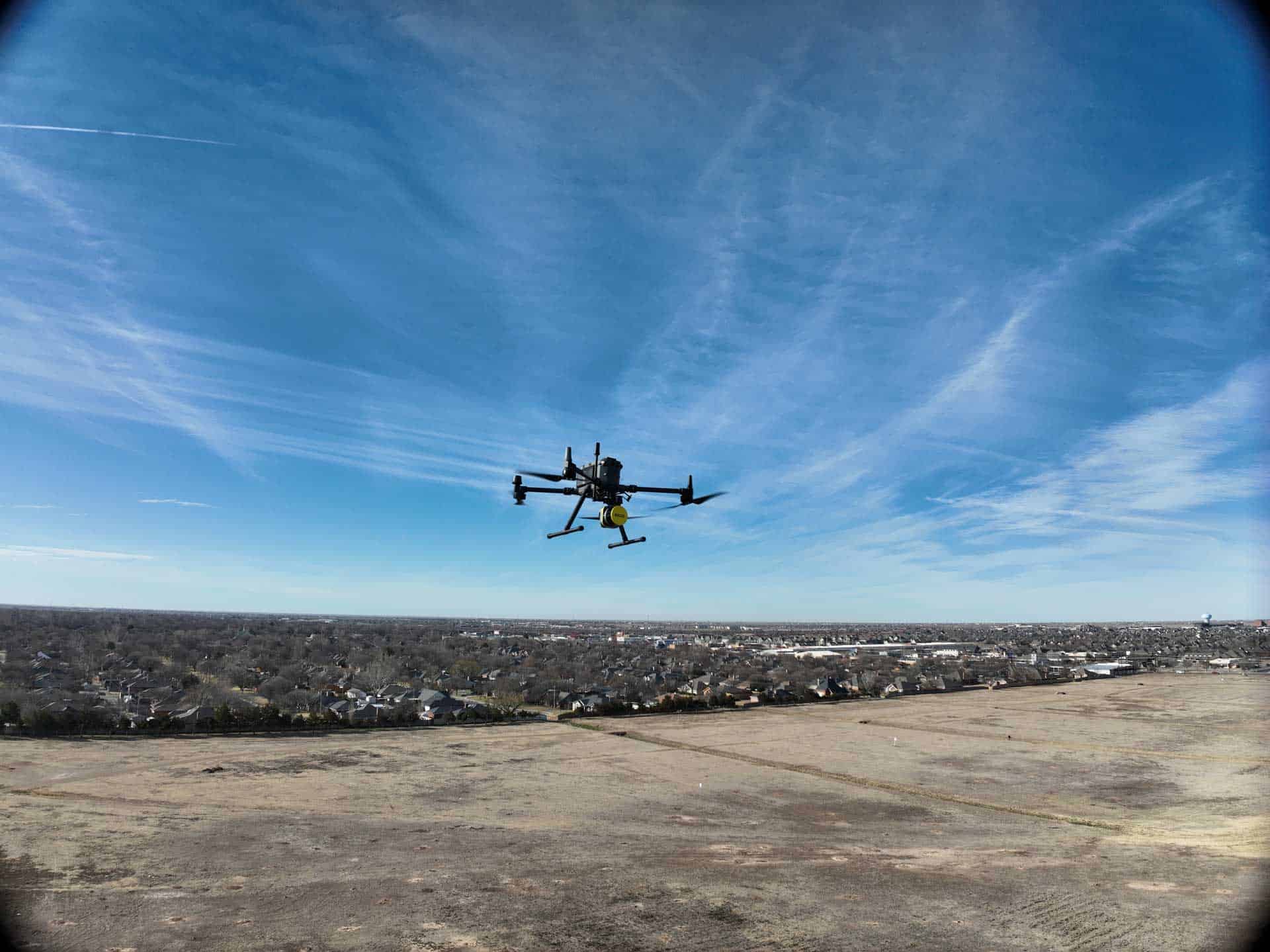
The “magic” of LiDAR (Light Detection and Ranging) lies in its ability to see what the human eye—and standard cameras—cannot. Our drone-mounted LiDAR sensors emit hundreds of thousands of laser pulses per second, reflecting off every surface they encounter.
The “Ground Truth” Advantage:
- Vegetation Penetration: Unlike photogrammetry, which can be fooled by tall grass or thick canopy, our LiDAR “burns” through foliage to capture the true ground surface. This is critical for accurate Digital Terrain Models (DTM) in undeveloped Texas landscapes.
- Millimeter Precision: We deliver high-density point clouds that serve as a 1:1 digital twin of your site, providing the absolute accuracy required for structural tie-ins and clearance analysis.
2. Transforming Data into BIM (Building Information Modeling)
For our construction and architectural clients, a point cloud is only the beginning. The real value is realized when that data is converted into a BIM-ready format.
Tex-Air Drone specializes in Reality Capture for BIM. We take the millions of points from our LiDAR scans and assist your team in creating intelligent 3D models.
- As-Built Documentation: Stop relying on outdated paper blueprints. We provide a digital record of exactly what was built, identifying deviations from the original design before they become costly change orders.
- Clash Detection: By integrating our high-accuracy models into your BIM workflow, your engineers can identify potential interferences between structural elements and mechanical, electrical, or plumbing (MEP) systems early in the process.
3. Planimetric Mapping: The Blueprint of Your Site
While 3D models are essential for vertical structures, Planimetric Mapping is the backbone of horizontal site management. Planimetrics focus on the horizontal representation of features—man-made and natural—without the “noise” of raw imagery.
Our Planimetric deliverables include precise linework for:
- Road edges, curbs, and sidewalks.
- Building footprints and foundation pads.
- Utility poles, manholes, and visible infrastructure.
- Fence lines and property boundaries.
By delivering CAD-ready planimetric layers, we save your drafting team dozens of hours of manual digitization, allowing them to focus on design and engineering rather than tracing pixels.
4. Powering the Grid: PLS-CADD and Utility Engineering
One of the most specialized services in the Tex-Air Drone arsenal is our support for PLS-CADD (Power Line Systems – Computer Aided Design and Drafting). As the industry standard for overhead line design and analysis, PLS-CADD requires data of the highest integrity.
How We Support Utility Operators & Engineers:
- Line Clearance Analysis: We use LiDAR to model existing conductors and terrain, allowing engineers to perform sag-tension analysis and ensure NERC compliance.
- Structure Spotting: Our high-resolution models allow for optimized structure placement, often reducing the total number of poles needed for a project—saving millions in material costs.
- Thermal Rating Analysis: By providing exact measurements of wire heights and ground clearances, we help utilities calculate the maximum safe operating temperature for their lines, preventing outages and equipment failure.
5. Industrial Asset Management: Safety Meets Efficiency
For our industrial customers—refineries, manufacturing plants, and storage facilities—data collection often involves hazardous environments.
By deploying Tex-Air Drone for asset management, you eliminate the need for scaffolding, man-lifts, or putting personnel in “at-height” situations. Our LiDAR and thermal sensors can detect structural deformations, pipe leaks, or insulation breakdowns from a safe distance, providing a comprehensive audit of your facility’s health without a single minute of downtime.
The Tex-Air Drone Promise: Engineering-Grade Excellence
At Tex-Air Drone, we understand that our data is the foundation of your reputation. That’s why we invest in the highest-tier sensors and employ FAA-certified pilots who understand the nuances of Texas terrain and industrial safety.
We don’t just “fly drones.” We provide the spatial intelligence that keeps Texas building, growing, and powered.
Ready to elevate your next project?
Whether you need a full BIM model for a new facility or a PLS-CADD-ready survey for a transmission line, Tex-Air Drone is your partner in precision.
[Request a Consultation or Quote Today] Phone: (806) 318-1825
Email: read@texairdrone.com