

LIDAR SCANNING IN FORT WORTH, TX
COMMERCIAL LIDAR SCANNING SERVICES IN FORT WORTH, TEXAS FOR MAPPING & SITE DATA
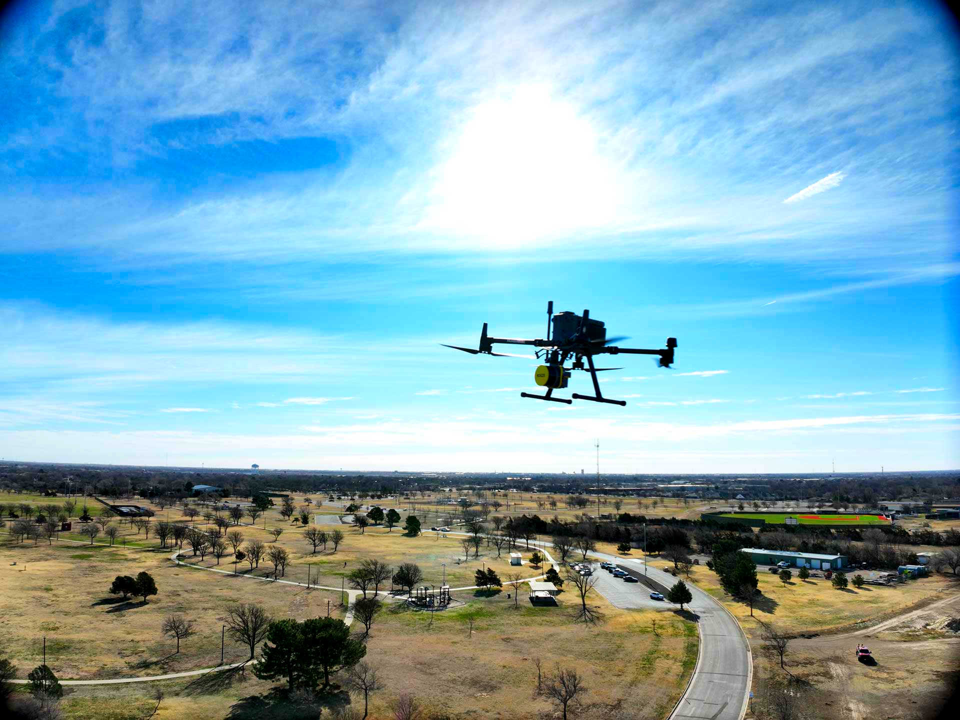
We provide professional LiDAR scanning services in Fort Worth, Texas, including advanced drone LiDAR scanning for land development, construction planning, site documentation, and commercial data capture.
Our team supports projects across Fort Worth and the surrounding North Texas area with efficient aerial LiDAR scanning, reliable communication, and drone data collection tailored to your project needs.
FAA-CERTIFIED DRONE OPERATIONS
Professional drone data collection performed by trained, certified operators.
ADVANCED LIDAR TECHNOLOGY
Drone LiDAR scanning for detailed terrain, elevation, and site data.
FAST PROJECT DATA CAPTURE
Efficient aerial LiDAR scanning for land, construction, and commercial projects.
SERVING FORT WORTH AREA
LiDAR scanning services for Fort Worth and surrounding North Texas communities.
FORT WORTH LIDAR SCANNING SERVICES
Tex-Air Drone provides LiDAR scanning services in Fort Worth, TX for land development, construction planning, site documentation, and commercial mapping needs.
Our drone LiDAR scanning process helps capture detailed aerial data for projects that require accurate terrain, elevation, and site condition information.
LiDAR and elevation data are commonly used to support planning, infrastructure review, land analysis, and 3D site understanding. For broader context,
the U.S. Geological Survey’s 3D Elevation Program explains how high-quality elevation data supports decision-making across the country.
Our Fort Worth LiDAR scanning services are part of Tex-Air Drone’s broader commercial drone services, including aerial mapping services, construction site monitoring, agricultural drone services,
thermal drone inspections, and asset monitoring services. Tex-Air Drone provides commercial drone data collection using FAA-certified operations aligned with Part 107 commercial drone requirements.
COMMERCIAL LIDAR SERVICES
Professional LiDAR scanning services for Fort Worth businesses, developers, contractors, engineers, and property owners.
Construction Site Monitoring
Use drone LiDAR scanning to document site conditions, track progress, and support project planning with detailed aerial data.
Aerial Mapping Services
Capture high-density site data from above for mapping, measurement, terrain review, and commercial project documentation.
Agricultural Land & Crop Data
Use drone data collection to monitor acreage, land conditions, crop areas, and rural properties near Fort Worth.
Thermal Imaging & Inspection
Identify heat loss, electrical concerns, roof issues, and site conditions with professional thermal drone inspections.
Asset Monitoring Services
Inspect pipelines, facilities, infrastructure, and commercial assets efficiently using reliable aerial data collection.
LIDAR SCANNING IN FORT WORTH, TX & SURROUNDING AREAS
We provide LiDAR scanning services in Fort Worth, TX and surrounding North Texas communities. Our team supports land development, construction, commercial, agricultural, and infrastructure projects with efficient drone LiDAR scanning and reliable aerial data collection. Our Fort Worth-area service coverage includes:
- Fort Worth, TX
- Arlington, TX
- Burleson, TX
- Weatherford, TX
- Aledo, TX
- Benbrook, TX
- Keller, TX
- Southlake, TX
- Mansfield, TX
If your project is located outside the Fort Worth area, contact our team to confirm LiDAR scanning availability in your area.
FREQUENTLY ASKED QUESTIONS ABOUT LIDAR SCANNING
Do you offer LiDAR scanning services in Fort Worth, TX?
Yes, Tex-Air Drone provides professional LiDAR scanning services in Fort Worth, TX and surrounding North Texas communities. Our team supports land development, construction, commercial, agricultural, and infrastructure projects with drone-based aerial data collection.
What is LiDAR scanning used for?
LiDAR scanning is used to collect detailed site data, including terrain, elevation, surface conditions, vegetation, drainage patterns, and existing project conditions. It can be helpful for land planning, construction documentation, mapping, and commercial site evaluation.
What is the difference between a drone LiDAR scan and aerial photography?
A drone LiDAR scan uses laser-based measurements to collect detailed surface and elevation data. Aerial photography captures visual images from above. Both can be useful, but LiDAR scanning is often better for projects that need terrain, elevation, or site condition data beyond standard imagery.
Is drone LiDAR scanning useful for construction projects?
Yes, drone LiDAR scanning can help construction teams document site conditions, review terrain, support planning, and collect aerial data before or during a project. It can be especially useful on larger sites or areas where ground access is limited.
Can LiDAR scanning be used on rural land or large properties?
Yes, aerial LiDAR scanning can be a good fit for acreage, ranch land, agricultural properties, commercial sites, and large development areas. Drone-based scanning helps collect data efficiently across properties that may be difficult or time-consuming to document from the ground.
How do I request a LiDAR scanning quote in Fort Worth?
You can contact Tex-Air Drone to discuss your Fort Worth-area project, site location, and data collection needs. Our team can help determine whether LiDAR scanning is the right fit and provide the next steps for scheduling service.