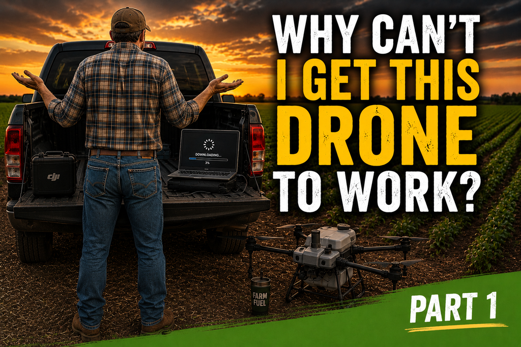
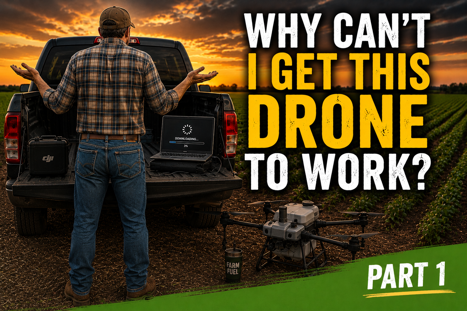
As drone flying interest extends beyond hobbyists to cutting-edge commercial drones, Tex-Air Drone wants “lessons learned” to extend to service customers with large-scale needs who likely will eventually buy and operate their own high-performance drone. Understanding the difference between a mapping drone and a spraying drone is where that conversation starts. That adventure properly begins by avoiding purchasing a precision agriculture drone without fully understanding the drone technology supporting what you actually need — and what it takes to legally operate it.
Spraying vs mapping is a matter of regulatory requirements, operational complexity, and what the aircraft is actually capable of delivering on a working farm — always a conversation worth having before a purchase, not after.
Tex-Air Drone can save time and help avoid hindsight mistakes for agricultural producers, ranchers, and commercial operators across a service territory spanning roughly half of Texas, half of New Mexico, and a third of Oklahoma to help them navigate exactly this decision.
What Makes a Mapping Drone Different From a Spraying Drone
At first glance, spraying and mapping drones look like variations on the same theme. Both are unmanned aircraft equipped with advanced technology. Both increasingly common in agricultural settings. But the differences between a mapping drone and a spraying drone have significant regulatory, financial, and operational consequences for anyone considering a purchase.
Mapping drones — sometimes called data-gathering or survey drones — are designed to fly systematic patterns over a field and capture imagery, and precision spraying cannot be achieved without it. Multispectral sensors capture reflectance data in multiple light bands, including near-infrared. Agronomists and producers can then generate NDVI maps, identify stress zones and soil conditions, build variable rate application prescriptions, and monitor stand health over time.
The DJI Mavic 3 Multispectral is one of the most widely used crop health mapping drones on the market today — a compact, highly capable platform that captures multispectral and RGB imagery simultaneously for precision agriculture analysis. RTK drone agriculture platforms in this category provide centimeter-level GPS accuracy, enabling the kind of georeferenced mapping that supports prescription map generation and drone mapping software agriculture workflows.
As the above techy jargon indicates, all the above requires software subscriptions that a licensed drone pilot must understand — and the expertise to avoid the worst-case scenario of owning a drone: crashing it.
Spraying drones — also called aerial application drones, precision spraying drones, or, in the language most farmers still use, crop dusting drones — use heavy-lift power and blades designed to carry spray tanks filled with liquid or granular payloads to enhance plant health at large scale and with precision. The DJI Agras series, including the T50 and the T100, represents the commercial end of this category. A heavy payload drone like the DJI Agras T100 carries a 100-liter spray tank and covers 70 or more acres per hour — a fundamentally different machine from a mapping drone in terms of weight, operational requirements, regulatory obligations, and total cost of ownership.
The decision between these two agricultural drone types begins with what you are legally authorized to operate and what makes financial sense given your acreage and application volume.
No Spin Zone — The Solution That Fits
Tex-Air Drone brings hands-on expertise across both categories of precision agriculture drones — not just the hardware, but the real-world operational knowledge that determines whether a drone investment actually pays off in the field.
Authorized Commercial Sales: Tex-Air Drone provides access to top-tier agricultural drone platforms including DJI Agras equipment, working with Terra Xplore, an authorized DJI agricultural drone distributor, to supply the right systems for commercial-scale operations.
End-to-End Application Expertise: The Tex-Air Drone team includes certified crop advisors with decades of field experience. Operations Manager Ben Burks holds a B.S. in Agricultural Business and Economics, and pilot Jon Tolleson is a Certified Crop Advisor with 40 years of farming experience.
Custom Application Services: For producers seeking results from precision drone application without the capital investment and regulatory burden of ownership, Tex-Air Drone provides commercial agricultural drone spraying services across Texas, Oklahoma, and New Mexico.
Contact Tex-Air Drone Today
Whether you are evaluating precision agriculture drones for purchase, exploring custom application services, or trying to determine which path makes the most sense for your operation, Tex-Air Drone’s team is available to walk through the options with you. Call 806-318-1825 or get an ag drone consultation from Tex-Air Drone to start the conversation. You can also check Tex-Air Drone’s Texas, Oklahoma, and New Mexico service area to confirm coverage for your location.
Frequently Asked Questions
What is the main difference between a spraying drone and a mapping drone in agricultural drone spraying services?
A mapping drone is a data-gathering platform that captures imagery for crop health analysis, NDVI mapping, and prescription generation. A spraying drone is a heavy-lift application platform that carries liquid or granular payloads for field application. The mapping drone vs spraying drone distinction also matters legally — each type carries different FAA certification requirements, with spraying drones requiring Part 137 and a state pesticide applicator license in addition to the standard Part 107. Most producers are surprised to learn that the licensing path for a spray drone takes three to six months longer than for a mapping drone, which operates under Part 107 only.
What else is required besides the proper license and certificate to operate either drone?
As covered more thoroughly in Part 2, United States law requires proper licensing. Beyond that, operators need computers equipped with hardware sufficient to run sophisticated software platforms — many requiring ongoing subscriptions — plus the expertise to translate raw drone data into usable 3D models and actionable imagery. A mapping drone without a trained operator and the right software stack is a very expensive camera. A spraying drone without proper certification is a liability. Understanding those full requirements before purchasing is exactly the conversation Tex-Air Drone helps producers have.
What functions can a mapping drone perform beyond agriculture?
If the decision is made to buy and learn how to operate a mapping drone, the applications extend well beyond crop scouting. Counting cattle, locating livestock that have wandered off to give birth, recreational hunting scouting, landscape documentation, and personal event photography are all practical benefits of owning a cutting-edge commercial drone. For a producer who invests in a mapping drone for the agricultural data benefits, those secondary uses add real day-to-day value to the investment.