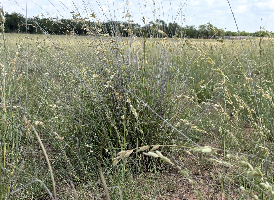
Fertilizer is one of the largest controllable input costs on a cattle operation, and it is also one of the most commonly wasted. A rancher who fertilizes a 200-acre coastal bermudagrass pasture with a single blanket rate is, in effect, betting that every acre of that pasture needs the exact same nutrients in the exact same amount. Anyone who has walked that pasture knows that bet rarely pays off evenly. Some sections respond beautifully. Others barely move. A few may not have needed fertilizer at all.
Drone fertilizer application solves this problem by replacing a uniform guess with a data-driven prescription. Rather than spreading the same rate across every acre, drone fertilizer application uses aerial imagery to identify exactly where a pasture is underperforming, builds a variable rate map from that data, and applies fertilizer only where the forage stand will actually respond. For cattle ranchers managing coastal bermudagrass and native range across Texas, Oklahoma, and New Mexico, this approach is becoming one of the clearest ways to control the rising cost of fertilizer while still pushing forage yield in the direction it needs to go.
Tex-Air Drone provides drone fertilizer application as part of its precision agriculture services across a service territory spanning roughly half of Texas, half of New Mexico, and a third of Oklahoma — a footprint built specifically to serve large-acreage ranching operations that cannot afford to waste fertilizer dollars on ground that will not respond.
The Blanket Fertilizing Problem on Cattle Ranches
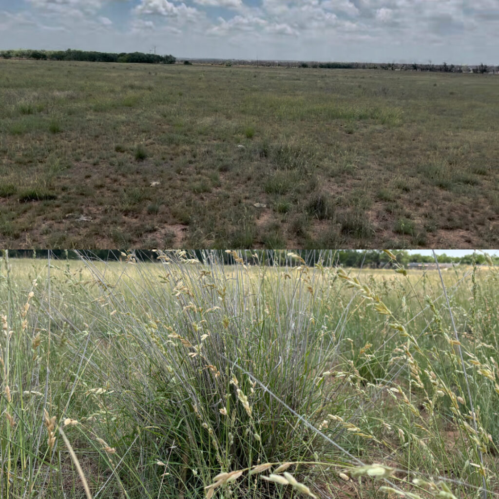
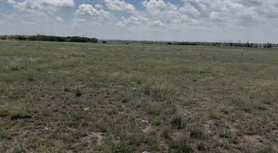
The traditional approach to pasture fertilization is straightforward in concept and inefficient in practice. A rancher pulls a soil sample from one or two representative spots, gets a general nutrient recommendation, and applies that rate uniformly across the entire pasture. The math works fine on paper. In the field, pasture fertility is rarely uniform. Soil type changes across a property. Drainage patterns concentrate nutrients in some areas and strip them from others. Grazing pressure is uneven, which means manure and urine — a real source of recycled nutrients — gets distributed unevenly as well. A single soil sample and a single application rate cannot account for any of that variation.
This is exactly the gap drone fertilizer application is designed to close. Instead of one soil sample standing in for an entire pasture, an aerial flight captures spatial data across every acre, revealing the variation that a single sample would have missed entirely.
What Drone Fertilizer Application Actually Looks Like on a Working Ranch
Drone fertilizer application is not a single step — it is a short, repeatable workflow that starts in the air and ends with product on the ground exactly where it belongs.
The process begins with a multispectral imaging flight over the target pasture. The drone captures reflectance data, including near-infrared bands invisible to the naked eye, that reveals forage vigor across the entire field. Healthy, actively growing grass reflects near-infrared light differently than thin, stressed, or nutrient-deficient grass, and that difference becomes the foundation of a vegetation index map showing exactly where the stand is strong and where it is struggling.
That map is the input for the second half of drone fertilizer application: turning the vigor data into a variable rate prescription. Areas showing strong existing growth receive a reduced rate or no application at all, since additional fertilizer on a pasture that is already performing well produces diminishing returns. Areas showing pale, thin, or stressed growth — the visual signature of nutrient deficiency — receive the bulk of the applied product, concentrating the fertilizer budget where it has the best chance of producing a measurable yield response.
Step One: The Pasture Audit
Every drone fertilizer application engagement starts with what amounts to a pasture audit — a comprehensive aerial assessment of forage condition across the entire property, not just a handful of sample points. This audit captures the same multispectral data used for the fertilization map, but its value extends further. The same flight that informs a fertilizer prescription also documents bare ground, overgrazed zones, and areas where stand density has declined to the point where fertilizer alone will not solve the underlying problem.
This audit step matters because it prevents a common and expensive mistake: spending fertilizer dollars on ground that needs a different intervention entirely. A pasture section that has lost its stand to overgrazing or drought needs reseeding, not nitrogen. A drone fertilizer application program that starts with a proper audit identifies that distinction before the fertilizer truck — or the spray drone — ever gets dispatched.
Step Two: Turning the Audit Into a Variable Rate Prescription
Once the audit data is processed, it becomes a georeferenced prescription map with application rates assigned zone by zone across the pasture. This is where drone fertilizer application delivers its core financial advantage over conventional broadcast fertilization. Rather than a single number applied uniformly, the prescription specifies precisely how much product goes on each section of the field, based on the actual condition of that section rather than an average drawn from one or two soil samples.
That prescription can be loaded directly into application equipment — whether that is a ground-based variable rate spreader or an aerial application drone — for execution. The result is a fertilization pass that follows the data exactly: full rate where the forage will respond, reduced rate where it will not, and zero rate in areas already performing at or near their potential.
Coastal Bermudagrass vs. Native Range: Two Different Fertility Conversations
Drone fertilizer application is not a one-size-fits-all service, and the strategy looks different depending on whether the target is improved pasture or native range.
Coastal bermudagrass is a heavy nitrogen user, and its fertility requirements are well documented. Texas A&M AgriLife Extension’s ForageFax program notes that nitrogen is typically the most limiting nutrient in bermudagrass production, with deficiency commonly showing up as pale green coloring and reduced yield — precisely the kind of stress signature that multispectral imagery is built to detect before it becomes visible from the ground. On coastal bermudagrass acreage cut for hay, phosphate and potash removal per ton of hay harvested adds another layer of fertility planning that a uniform application rate often fails to account for across a large hay meadow.
Native range fertility is a different conversation entirely. Native grass species are generally far less responsive to nitrogen than improved bermudagrass, and applying fertilizer uniformly across native range is one of the more common ways ranchers waste a fertilizer budget. Drone fertilizer application on native range tends to focus less on blanket nitrogen and more on identifying the specific zones — often around water sources, working pens, or historically overgrazed areas — where a targeted nutrient or reseeding intervention will actually move the needle.
What Ranchers Actually Save With Drone Fertilizer Application
The financial case for drone fertilizer application rests on a simple principle: fertilizer applied to ground that will not respond is fertilizer wasted, regardless of how accurately it was measured out at the spreader. When a variable rate prescription concentrates product in the zones most likely to produce a yield response and reduces or eliminates application in zones that do not need it, the total volume of fertilizer purchased for a given pasture typically drops, even as the yield response in the treated zones improves.
That math compounds at scale. A rancher managing several hundred acres of coastal bermudagrass hay meadow who shifts from blanket fertilization to drone fertilizer application is not making a marginal adjustment — they are restructuring how an entire input budget gets allocated across the property, season after season.
Scheduling Drone Fertilizer Application Around the Growing Season
Timing matters as much as targeting. Drone fertilizer application is most effective when the imaging flight happens early enough in the growing season to inform an application before the bulk of the year’s growth potential has already passed. Across Texas, Oklahoma, and New Mexico, that window generally falls in spring as warm-season grasses break dormancy and begin active growth, with a second opportunity for a mid-summer application on operations cutting multiple hay harvests.
Tex-Air Drone’s service territory — covering roughly half of Texas, half of New Mexico, and a third of Oklahoma through dedicated offices in West Texas, East Texas, and North Texas — is structured to support drone fertilizer application on this kind of seasonal schedule, rather than treating it as a one-time service disconnected from the rhythm of the ranching calendar.
Getting Drone Fertilizer Application Started on Your Operation
For ranchers who have never used aerial imagery to plan a fertility program, the most practical starting point is a single pasture audit on the acreage where fertilizer spend has felt the least predictable — the hay meadow that never seems to respond evenly, or the pasture where some sections always outperform others regardless of the rate applied. That first flight establishes the baseline data that every future drone fertilizer application decision on that pasture will build from.
Tex-Air Drone’s drone fertilizer application services are available across the company’s full Texas, Oklahoma, and New Mexico service territory. To schedule a pasture audit or discuss a variable rate fertility program for your operation, contact Tex-Air Drone at 806-318-1825 or request a project quote. You can also view our full service area to confirm coverage for your location.
Frequently Asked Questions
How is drone fertilizer application different from a regular soil test? A soil test provides a fertility recommendation for the one or two spots where samples were pulled, while drone fertilizer application maps forage vigor across every acre of the pasture, revealing variation that a handful of sample points cannot capture.
Does drone fertilizer application work on native range as well as improved pasture? Yes, though the strategy differs — on native range, drone fertilizer application is typically used to target specific stressed zones rather than apply a blanket nitrogen rate, since native species generally respond less to nitrogen than improved bermudagrass.
How often should a pasture go through drone fertilizer application? Most coastal bermudagrass operations benefit from an annual flight timed to early-season growth, with a second flight added for operations cutting multiple hay harvests in a single season.
Tex-Air Drone provides precision agriculture drone services — including drone fertilizer application, multispectral pasture audits, variable rate prescriptions, and aerial broadcast seeding — to ranching operations across Texas, Oklahoma, and New Mexico. The company operates dedicated offices in West Texas, East Texas, and North Texas.