

Drone Lidar Survey Support
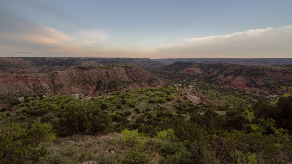
High-Density LiDAR Data Collection for Survey Professionals
Tex-Air Drone provides professional drone LiDAR data acquisition services that complement traditional surveying workflows. We support licensed surveyors, engineering firms, and land development professionals by providing accurate aerial geospatial datasets.
Our role is data acquisition and geospatial deliverables. Boundary determination and legal survey services remain the responsibility of licensed survey professionals.
Topographic Mapping Through LiDAR Surveys
Accurate topographic information is critical for engineering and development projects.
LiDAR supports:
- Site planning
- Drainage studies
- Utility design
- Transportation projects
- Land development
- Existing conditions mapping
Millions of elevation points are collected across the project area, providing significantly greater data density than traditional methods alone.
LiDAR data collection and processing can follow established USGS LiDAR standards and specifications for accuracy, classification, point data, and elevation-model deliverables.
Vegetation Penetration and Bare-Earth Modeling
Vegetation Penetration and Bare-Earth Modeling
One of LiDAR’s greatest advantages is its ability to capture terrain beneath vegetation.
This capability is particularly valuable in:
- Heavily wooded sites
- Utility corridors
- Floodplain studies
- Environmental projects
- Transportation routes
Processed point clouds allow vegetation to be separated from the terrain, resulting in accurate Digital Terrain Models.
Topographic Deliverables
-
Classified Point Clouds
-
Digital Terrain Models
-
Digital Surface Models
-
Digital Elevation Models
-
Topographic Contours
-
Orthomosaic Imagery
-
Terrain Profiles
-
Cross Sections