

Mapping Vegetation with LiDAR for Forestry Services
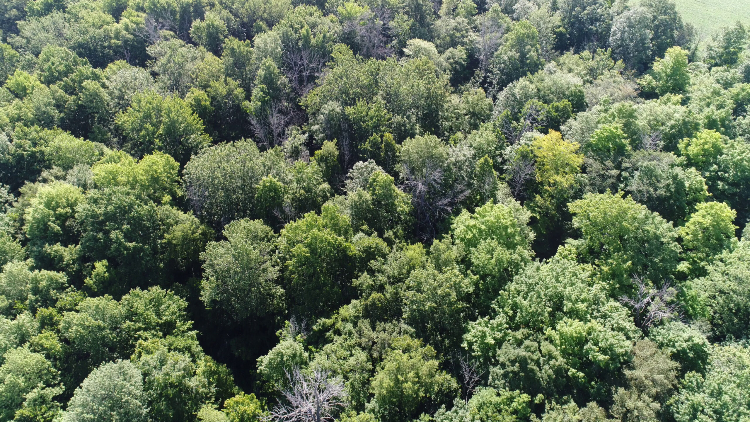
See Beneath Dense Vegetation with Drone LiDAR
One of the most powerful advantages of LiDAR technology is its ability to capture terrain information beneath vegetation. Traditional aerial imagery records only what is visible from above, often creating a model of the vegetation canopy rather than the actual ground surface. In heavily wooded environments, this can limit the usefulness of the data for engineering, environmental, and land management projects.
Tex-Air Drone utilizes advanced drone LiDAR technology to collect millions of laser measurements across a project site. These measurements allow vegetation and terrain to be separated during processing, resulting in accurate bare-earth models and detailed vegetation datasets.
This capability makes LiDAR an invaluable tool for forestry professionals, environmental consultants, utility operators, engineers, and land managers throughout Texas.
Applications for Forestry and Natural Resource Management
Accurate information is critical when managing large tracts of land.
Drone LiDAR supports:
- Forest inventory projects
- Timber management planning
- Habitat assessments
- Land stewardship programs
- Conservation planning
- Vegetation density analysis
- Environmental baseline documentation
- Watershed management studies
High-density LiDAR data provides a detailed understanding of terrain and vegetation conditions that can be difficult to obtain using traditional methods alone.
This information can support LiDAR for forest inventory and management, including canopy analysis, vegetation density measurements, terrain modeling, and more informed forestry planning.
Vegetation Classification and Analysis
LiDAR point clouds can be processed to classify different types of vegetation and terrain features.
Deliverables may support:
This capability is particularly valuable in:
- Vegetation mapping
- Canopy height evaluation
- Ground surface extraction
- Vegetation density assessment
- Change detection projects
- Utility corridor vegetation monitoring
These datasets provide a valuable foundation for planning and decision-making.
Environmental and Watershed Mapping
Environmental consultants frequently require accurate terrain information for planning and analysis.
LiDAR supports:
This capability is particularly valuable in:
- Watershed delineation
- Drainage analysis
- Stream corridor assessments
- Erosion studies
- Wetland evaluations
- Floodplain investigations
- Surface water modeling
By accurately identifying terrain beneath vegetation, LiDAR improves the quality of environmental analysis and planning.
Forestry and Vegetation Deliverables
Deliverables generated through Rock Pro Services may include:
-
Classified Point Clouds
-
Colorized Point Clouds
-
Digital Terrain Models (DTM)
-
Digital Surface Models (DSM)
-
Digital Elevation Models (DEM)
-
Topographic Contours
-
Orthomosaic Imagery
-
Cross Sections
-
Terrain Profiles
-
GIS Compatible Deliverables
Benefits of Mapping Vegetation with LiDAR
Compared to traditional field collection methods, drone LiDAR offers:
-
Faster data collection
-
Improved site safety
-
Reduced field labor requirements
-
Detailed terrain information
-
Repeatable monitoring capabilities
-
Accurate geospatial documentation
AGRICULTURAL DRONE SERVICES IN AMARILLO, TX
We provide agricultural drone services for projects across the region, including agricultural drone services in Amarillo, TX,
supported by aerial mapping and data analysis to improve crop monitoring, irrigation management, and precision agriculture operations.
Serving Amarillo, TX and the Texas Panhandle.