

Digital Terrain Models & Contour Mapping Services
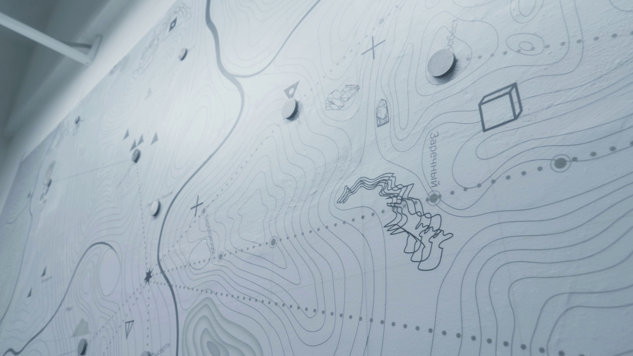
Accurate Terrain Information for Engineering and Development
Every successful engineering project begins with a clear understanding of existing site conditions. Whether planning a commercial development, roadway project, utility installation, drainage improvement, or environmental study, accurate terrain information is essential.
Tex-Air Drone generates high-resolution terrain products derived from survey-grade LiDAR data collected throughout Texas. These deliverables provide engineers, planners, surveyors, and developers with reliable elevation information that supports informed decision-making.
What is a Digital Terrain Model (DTM)?
A Digital Terrain Model represents the bare-earth surface after vegetation, buildings, and above-ground features have been removed from the dataset.
DTMs are commonly used for:
- Engineering design
- Drainage studies
- Roadway planning
- Site grading
- Land development
- Utility design
- Flood analysis
Because the model represents the actual terrain, DTMs are often one of the most valuable deliverables produced from a LiDAR project.
LiDAR-derived elevation data is widely used to create digital terrain models and contour products, with programs such as the USGS 3D Elevation Program standards establishing specifications for elevation and LiDAR datasets.
What is a Digital Elevation Model (DEM)?
A Digital Elevation Model provides elevation information that can be used within GIS and engineering software.
DEM applications include:
This capability is particularly valuable in:
- Site analysis
- Watershed modeling
- Environmental studies
- Infrastructure planning
- Resource management
- Terrain visualization
DEM products provide a simplified representation of elevation across a project area while maintaining the accuracy necessary for planning and analysis.
What is a Digital Surface Model (DSM)?
Unlike a DTM, a DSM represents everything visible on the surface.
This includes:
- Buildings
- Trees
- Structures
- Infrastructure
- Ground elevations
DSM datasets are frequently used for visualization, planning, and asset documentation projects.
LiDAR-Derived Contour Mapping
Contour maps remain one of the most widely requested deliverables in surveying, engineering, and land development projects.
Contours provide visual representation of terrain and elevation changes across a site.
Tex-Air Drone can provide:
- 0.5-foot contours
- 1-foot contours
- 2-foot contours
- Custom contour intervals
Contour maps may be delivered in formats compatible with CAD and GIS workflows.
Applications for Terrain Models and Contours
LiDAR-derived terrain products support:
- Land development
- Commercial construction
- Transportation projects
- Utility design
- Watershed studies
- Floodplain analysis
- Environmental projects
- Site grading plans
- Existing conditions mapping
Terrain Model Deliverables
Deliverables generated through Rock Pro Services may include:
-
Digital Terrain Models (DTM)
-
Digital Elevation Models (DEM)
-
Digital Surface Models (DSM)
-
Topographic Contours
-
Classified Point Clouds
-
Orthomosaic Imagery
-
Cross Sections
-
Terrain Profiles
-
Colorized Point Clouds
-
CAD Compatible Deliverables
-
GIS Compatible Deliverables
FAQ
What is the difference between a DTM and DEM?
Because we utilize high-speed, RTK-stabilized enterprise flight platforms, we can map hundreds of acres of solar arrays in a single day, eliminating the weeks of manual labor required for handheld ground inspections.
What is the difference between a DTM and DSM?
While the cloud portal allows full interactive measurement and annotation, you can export geotagged defect maps.
You can also export CSV files with anomaly coordinates and complete PDF inspection reports.
These files can plug directly into your existing CMMS or O&M workflows.
How are contour maps created from LiDAR?
Our LiDAR mapping drone services create radiometric imaging workflows align with IEC TS 62446-3 standards for outdoor infrared thermography of photovoltaic modules, providing you with certified, audit-ready documentation.
What contour intervals are available?
Yes. Our radiometric imaging workflows align with IEC TS 62446-3 standards for outdoor infrared thermography of photovoltaic modules, providing you with certified, audit-ready documentation.
Can LiDAR create engineering-grade terrain models?
Yes. Our radiometric imaging workflows align with IEC TS 62446-3 standards for outdoor infrared thermography of photovoltaic modules, providing you with certified, audit-ready documentation.
Can LiDAR support drainage studies?
Yes. Our radiometric imaging workflows align with IEC TS 62446-3 standards for outdoor infrared thermography of photovoltaic modules, providing you with certified, audit-ready documentation.
Can terrain models be imported into CAD software?
Yes. Our radiometric imaging workflows align with IEC TS 62446-3 standards for outdoor infrared thermography of photovoltaic modules, providing you with certified, audit-ready documentation.
What file formats are available?
Yes. Our radiometric imaging workflows align with IEC TS 62446-3 standards for outdoor infrared thermography of photovoltaic modules, providing you with certified, audit-ready documentation.
How accurate are LiDAR-derived contours?
Yes. Our radiometric imaging workflows align with IEC TS 62446-3 standards for outdoor infrared thermography of photovoltaic modules, providing you with certified, audit-ready documentation.
What industries use DTM and DEM data?
Yes. Our radiometric imaging workflows align with IEC TS 62446-3 standards for outdoor infrared thermography of photovoltaic modules, providing you with certified, audit-ready documentation.