

Lidar for Construction Site Mapping
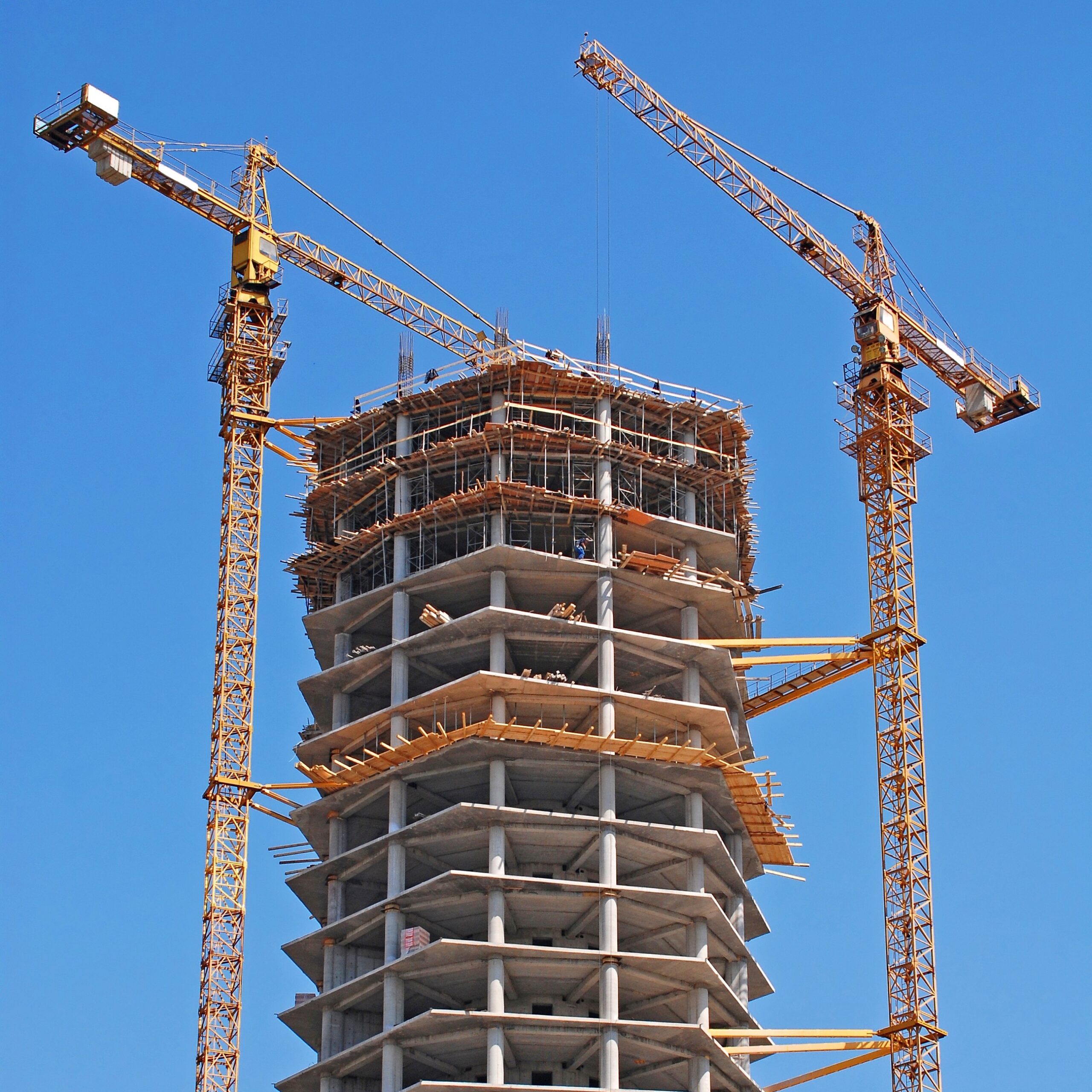
Accurate Site Data for Better Construction Decisions
Construction projects depend on accurate information. From initial site preparation through project completion, reliable terrain and elevation data helps contractors, engineers, and owners make informed decisions.
Tex-Air Drone provides construction LiDAR mapping services that allow project teams to visualize existing conditions, verify grading operations, monitor progress, and calculate material quantities.
The U.S. Geological Survey’s LiDAR standards and specifications provide established guidance for LiDAR data collection, processing, accuracy, and quality.
Pre-Construction Mapping
Before construction begins, stakeholders require accurate site information.
LiDAR datasets support:
- Existing Conditions Documentation
- Site planning
- Drainage evaluation
- Utility planning
- Earthwork estimation
- Access road design
Accurate existing conditions reduce uncertainty and help identify challenges before construction starts.
Earthwork Quantity Calculations
Excavation monitoringEarthmoving operations represent one of the largest expenses on construction projects.
LiDAR-derived terrain models support:
- Cut calculations
- Fill calculations
- Material movement analysis
- Site balancing
- Excavation monitoring
Accurate volume calculations help improve project budgeting and reduce disputes.
Stockpile Measurement Services
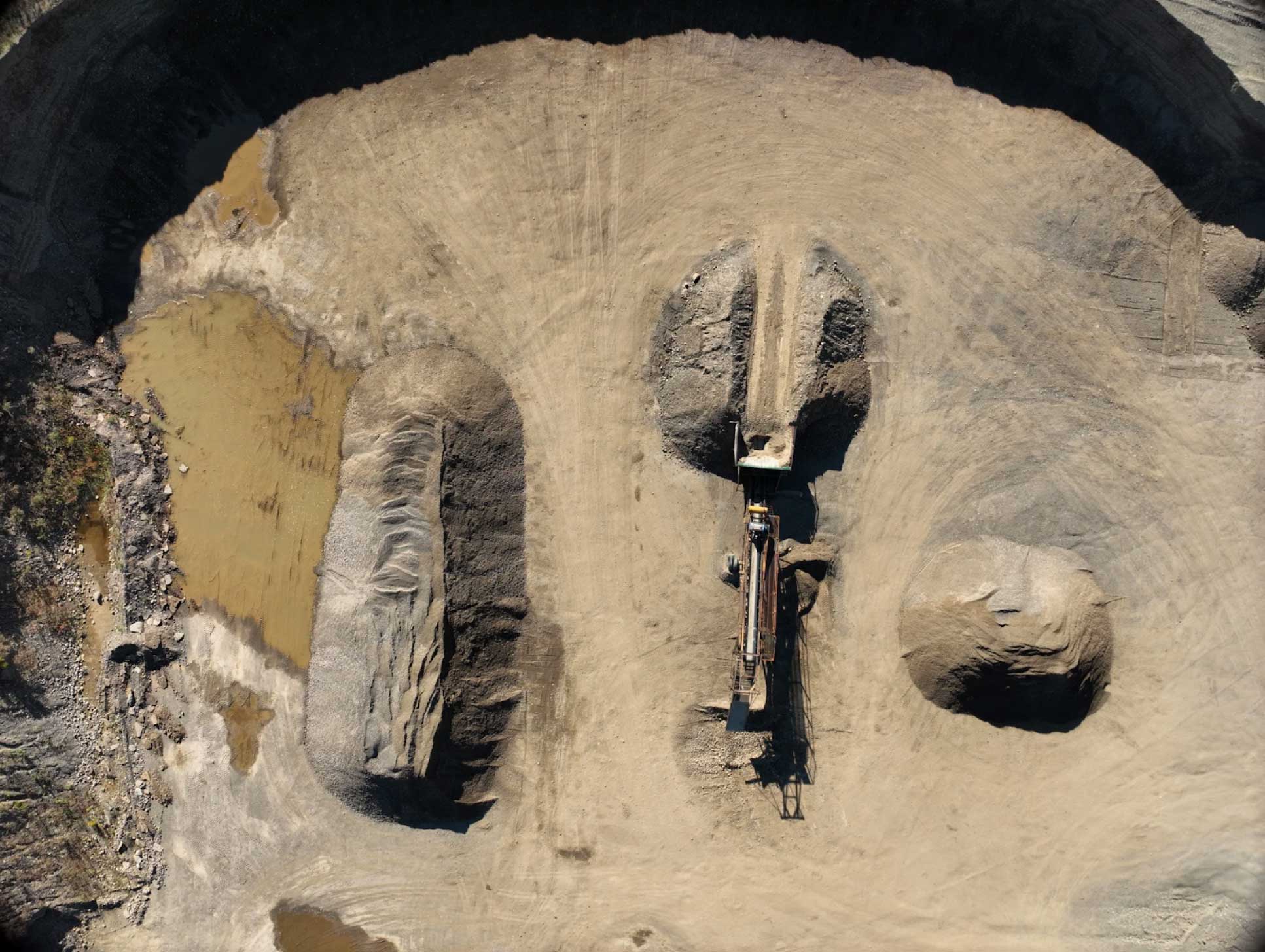
Tex-Air Drone provides volumetric analysis for:
- Aggregate stockpiles
- Sand stockpiles
- Soil stockpiles
- Recycled materials
- Construction materials
Regular inventory measurements improve operational awareness and material management.
Construction Progress Monitoring
LiDAR data can be collected throughout project development to create a detailed record of site progression. Benefits include:
-
Progress documentation
-
Contractor reporting
-
Schedule verification
-
Owner communication
-
Historical project records
-
As-Built Site Mapping
Construction DRONE SERVICES IN AMARILLO, TX
We provide construction site monitoring using drones for projects across the region, including construction site monitoring services in Amarillo, TX, supported by aerial mapping and LiDAR data for construction and development projects.
Serving Amarillo, TX and the Texas Panhandle.